Shadow Fleets and the Fragility of Global Verification: Building Verifiable Maritime Intelligence From the Ocean Floor to the Orbit
In this episode of The International Risk Podcast, Dominic Bowen speaks with Tuana Yazici and Steven Adler about the emergence of shadow fleets as a strategic challenge to global maritime security and the difficulties of building verifiable intelligence across both the ocean and space domains. Bowen opens with unambiguous urgency, describing shadow fleets as “the really urgent issue, and it’s at the intersection of surveillance, law, and even enforcement of laws as well,” and noting that many vessels “obscure their identity… they might disable different devices and tracking devices… and they’re becoming essential actors in circumventing sanctions”. His introduction sets the stage for a conversation that goes far beyond maritime opacity, touching on the credibility of evidence, the limits of technology and the fragility of the institutions expected to uphold the rule of law at sea.
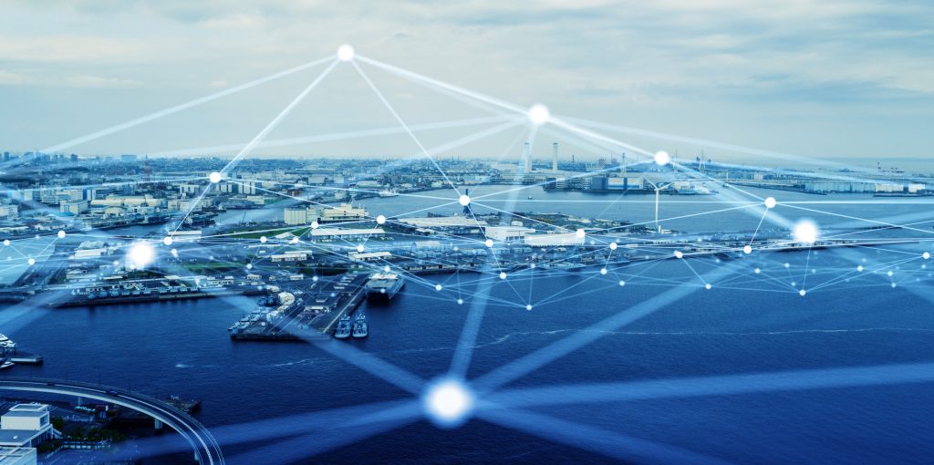
The scale of the visibility problem has been quantified in recent scientific work. A 2024 study published in Nature by Paolo and colleagues used satellite imagery, vessel GPS data and deep learning to map industrial activity in coastal regions, revealing that 72 to 76 percent of industrial fishing vessels are not publicly tracked, alongside 21 to 30 percent of transport and energy vessels that also remain outside standard monitoring systems. This finding demonstrates that, even in an era of unprecedented observational capability, vast areas of the global ocean remain unknown.
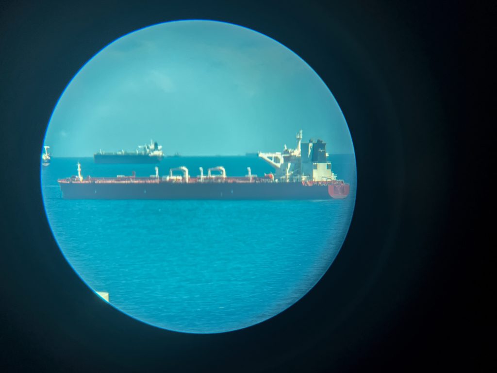
This hidden space is precisely where shadow fleets operate. Their operations increasingly shape global energy flows, environmental risk and sanctions enforcement. Reporting from Reuters has warned that an expanding fleet of unregulated, ageing tankers connected to Russia, Iran and Venezuela is raising the likelihood of oil spills, crew endangerment and catastrophic failures on the high seas. Enforcement actions by the European Union and United Kingdom have attempted to constrain these networks, but the fleets continue to grow.
Understanding the technologies behind maritime intelligence
To follow the episode’s argument, it is useful to understand how the sensing systems discussed actually work, since the capabilities and limitations of each determine how shadow fleets exploit gaps in monitoring.
AIS (Automatic Identification System) is a maritime broadcast tool used for safety and collision avoidance. Ships voluntarily transmit their identity, position, speed and course to shore stations and nearby vessels. Because AIS relies on line-of-sight radio, it is strongest near coastlines. Shadow fleet vessels routinely disable AIS or transmit falsified identity data to obscure their movements.
Synthetic aperture radar (SAR) provides high-resolution imaging by analysing radar returns as a satellite moves along its orbit. Unlike optical imagery, SAR can see through darkness and cloud cover. It detects the reflective signatures of hulls and wakes, revealing ships even when they attempt to hide from traditional surveillance.
Radiofrequency (RF) data captures non-AIS radio emissions from vessels, including communications and navigation signals. Because ships continue to emit RF even when AIS is turned off, space-based RF sensing is one of the most reliable methods for identifying dark vessels and geolocating them in near real time.
Each of these systems fills a different gap. AIS identifies ships that are broadcasting honestly, while SAR confirms the physical presence of vessels regardless of weather, and RF detection exposes vessels that have tried to disappear.
Observation without meaning
Satellite systems, however powerful, do not automatically create maritime transparency. Adler explains that satellites “travel at about 17,000 miles an hour around the earth” and may “only have a brief period of time in which they can record images,” while many platforms “turn their cameras off over the ocean to recharge their batteries”. As a result, imaging coverage is uneven and systematically biased toward land. Oceanic expanses, despite their geopolitical importance, remain observational blind spots.
Even when images are captured, Adler underscores the interpretive gap. “It is not just the content, it is the context as well,” he says, adding that “lots of information has to be co-located in order for something, an image of a ship at sea, to make sense.” A recent investigation by the Financial Times demonstrated how satellite data can be used to track vessels such as Russia’s Yantar as it operates without AIS in the Irish Sea, following the routes of critical undersea cables and pipelines. Reports indicated that Yantar made deliberate stops near these infrastructure sites, prompting authorities to monitor its movements closely. Satellite surveillance can reveal a vessel’s position and unusual patterns in sensitive areas, but it cannot on its own determine intent, ownership, or whether activities comply with the law. The Yantar case shows how sophisticated actors can exploit blind spots in maritime surveillance, operating well beyond the reach of conventional monitoring. Without context, satellite imagery remains a single reference point rather than actionable intelligence.
Investigations by C4ADS, European institutions and maritime insurers show that sanctions-evading fleets rely on a mix of vessel identity laundering, AIS tampering and ship-to-ship transfers to conceal their activities. C4ADS’ work on North Korean shipping documents how fraudulent International Maritime Organization (IMO) registrations and falsified identities have become central tools for evading oversight, while a 2024 European Parliamentary brief on Russia’s shadow fleet outlines the combination of shell companies, opaque ownership and deceptive routing used to circumvent sanctions.
Law without clarity
If Adler reveals the operational limitations of surveillance, Yazici articulates why the legal system remains ill-equipped to process even the best satellite data. Courts, she notes, are comfortable with photographs, eyewitness statements and established forensic techniques, but “when talking about satellite and AI derived intelligence… we have to remember that we are moving in a relatively uncharted legal territory,” and the “evidentiary status of satellite imagery and AI enhanced analysis is far less settled.”
Her 2025 publication published in University of Miami International and Comparative Law Review, “Standardizing Space Technologies as Admissible Evidence: Legal and Ethical Frameworks for U.S. Courts and the International Criminal Court,” examines Supreme Court and federal appellate cases to show how inconsistently space-derived evidence is treated. In cases such as California v. Ciraolo and Dow Chemical Co. v. United States, aerial observation was permitted, while decisions such as Kyllo v. United States, United States v. Jones, and Carpenter v. United States highlight the privacy implications of intrusive sensing and prolonged tracking. These rulings signal that courts are still grappling with where to draw boundaries between lawful observation and constitutionally protected privacy.
Yazici also details the technical vulnerabilities that undermine admissibility. Satellite sensors may suffer from “quantum noise,” “photon scattering,” calibration drift and “poor time synchronisation between satellites and ground stations,” each of which can affect geolocation accuracy. Analytical models “can be deliberately manipulated,” she warns, and “intentional and unintentional distortion” remains a major risk when relying on AI.
These weaknesses matter because courts require stability, replicability and integrity. Without a mechanism to verify how data was acquired, processed and interpreted, even highly accurate observations may fail the evidentiary threshold.

From detection to investigation
One of the most illustrative points in the discussion is Yazici’s explanation of AeroAI Guardian, the flagship initiative of her nonprofit, AeroAI Global Solutions. The project is designed to identify and monitor international human and wildlife trafficking hotspots by using a layered sensing architecture that integrates optical satellite imagery, SAR, RF data and advanced artificial intelligence techniques. Yazici outlined that AeroAI Guardian applies these technologies specifically to expose trafficking routes, illegal maritime activity and patterns that are otherwise invisible to conventional monitoring systems.
She describes the underlying building blocks. AIS provides a first window into vessel behaviour since it “is a digital transporter… vessels broadcast their identity, position, course, speed to nearby ships and shore stations,” but she notes that traffickers and shadow fleets “turn it off when they want to falsify it.” Once AIS data disappears, other layers of the AeroAI Guardian architecture take over. Yazici explains that “radio frequency data… steps in here because even if AIS is switched off vessels still emit radio signals,” and these signals can be geolocated from space. SAR then becomes essential because it can “provide imaging regardless of weather conditions, allowing analysts to detect hulls, wakes, and patterns of movement even during storms or in complete darkness.”
The initiative also uses optical satellite imagery to contextualise maritime patterns, AI models to classify anomalies and identify behavioural signatures, and hotspot mapping to determine where trafficking or illicit maritime operations are most likely to occur. Through AeroAI Guardian, these sensing modalities are not treated as isolated streams, but are merged into a coherent analytical pipeline that produces signals of interest for further investigation.
As Yazici notes, this only becomes meaningful when the technical detections are enriched with parallel intelligence streams. Space-derived data does not make sense to the human eye unless it is situated within contextual and legal frameworks. For AeroAI Guardian, this includes datasets from investigative partners, evidence from human trafficking and wildlife trafficking cases, patterns shared by NGOs such as United for Wildlife, and information from law-enforcement agencies including financial intelligence units and Homeland Security. Each dataset contributes a layer of interpretation that allows investigators to differentiate a benign dark vessel from one engaged in criminal activity.
This integrated approach is what allows projects such as AeroAI Guardian to move beyond surveillance into investigation. It is not the satellite image or the RF geolocation alone that produces insight, but the synthesis of technical detection with context, legal interpretation and investigative intelligence. As Yazici puts it in the episode, “the next step is to actually bring it to courts [and] use it as evidence,” which requires systems that can demonstrate technical reliability, methodological transparency and evidentiary continuity.
Commercial providers, such as HawkEye 360, use RF-based methods to identify dark vessels by triangulating emissions from communication and navigation equipment. In many cases, providers and NGOs use this data for their own programmes rather than sharing it more broadly for evidentiary purposes. What distinguishes AeroAI Guardian is its commitment to promoting the collection, verification, and standardisation of evidence so that satellite and sensor-derived data can be reliably used in international legal proceedings. Yazici encourages all NGOs and companies to support this as the next essential step in enforcement.
AeroAI Guardian is therefore more than a technological demonstration. It is a prototype of the type of multi-source, legally grounded, evidence-oriented intelligence system that will be required as shadow fleets continue to expand.
Governance without incentives
Institutional gaps compound the problem. Adler states plainly that “there really are not any incentive structures for nations to apply these laws,” especially when cases are expensive, politically sensitive or involve powerful commercial actors. Enforcement becomes even more unlikely when ports benefit economically from servicing or flagging suspect vessels.
Recent investigations reinforce this picture. A 2025 Reuters inquiry into sanctioned Russian and Iranian oil shipments documented how tankers operated through opaque insurers, identity changes, prolonged AIS silence and complex ownership structures, enabling them to continue transporting restricted cargo outside mainstream regulatory oversight. The investigation highlighted how vessels carrying sanctioned Iranian and Russian crude were insured by a small New Zealand-based firm, Maritime Mutual, backed by major global reinsurers, allowing tankers with different owners, operators and clients to maintain access to ports and services despite sanctions. A separate 2025 investigation by Follow the Money reported that US and European shipowners had sold at least 230 ageing tankers into Russia’s shadow fleet, many of which now function under permissive registries and shell companies with minimal technical scrutiny. Both accounts illustrate how these vessels move across jurisdictions in ways that complicate coordinated enforcement and heighten safety and environmental risks.
Yazici acknowledges that legal pathways exist, including coastal and port-state jurisdiction and, in serious cases, international courts. But she cautions that “there is no clear-cut explanation and steps that are easy to follow,” and that agencies with limited resources “do not prioritise these complex cross-border cases” without reliable processes and predictable outcomes.

Building the missing architecture: ISARA and the SEVC
One of Yazici’s most forward-looking contributions is her proposal, outlined in “Standardizing Space Technologies as Admissible Evidence: Legal and Ethical Frameworks for U.S. Courts and the International Criminal Court,” for a global structure capable of preparing space-derived data for legal and regulatory use. She explains that “there has to be a very specific organisation that deals with the legal aspects of it that works with the International Court of Justice and is able to prep this evidence so that it can be used… so that the legitimacy of it is not disputed.” Her research outlines a multi-stage trajectory that culminates in two institutional components: the International Space AI Regulatory Authority and the Satellite Evidence Standards and Verification Committee.
The International Space AI Regulatory Authority (ISARA)
ISARA is envisioned as a centralised, independent authority designed to provide legal oversight of artificial intelligence and space-based technologies. Modelled on international regulatory bodies such as the International Civil Aviation Organization (ICAO) and the International Maritime Organization (IMO), ISARA’s purpose is to promote data reliability and strengthen frameworks for space-derived evidence, safeguard individual rights, and encourage international collaboration. The authority would establish uniform standards to enable the consistent collection, verification, and assessment of satellite-derived evidence so that it meets global standards of reliability and admissibility.
The Satellite Evidence Standards and Verification Committee (SEVC)
Operating within ISARA, the SEVC is proposed as a specialised committee dedicated to legal oversight of satellite data. Its role is to ensure that satellite-derived evidence is collected, verified, and ethically assessed in accordance with uniform international standards. The SEVC would collaborate with international courts to promote reliability and admissibility of evidence, reinforce procedural integrity, and support the development of harmonised regulations across jurisdictions.
Together, ISARA and SEVC form a blueprint for bridging the gulf between rapidly evolving sensing technologies and the slower-moving legal frameworks that determine whether information can be acted upon.
Adler notes that the framework is “really impressive” and stresses that “we need to have a larger ecosystem of people who are focusing on this issue.”
A turning point for maritime intelligence
Shadow fleets are expanding into the blind zones created by uneven observation, incomplete legal standards and insufficient enforcement incentives. Technological capacity grows each year, yet the systems required to verify and act on that information lag behind. As this episode makes clear, the future of maritime intelligence will not be defined only by better satellites or stronger analytics, but by the creation of legal, technical and institutional architectures that can transform detection into proof.
The tools now exist to illuminate much of what was once hidden. The question is whether the global system can build the structures needed to use them.